

Author’s note: The taxpayer-funded tools from NOAA I consulted to provide the forecast information and analyses in today’s newsletter include satellite data from the Cooperative Institute for Research in the Atmosphere (CIRA) and wind analyses from the University of Wisconsin’s Cooperative Institute for Meteorological Satellite Studies (CIMSS). Both CIRA and CIMSS area slated for elimination in NOAA’s 2026 proposed budget.
There’s often a point in the hurricane season – typically in August – when forecast models wake up, suddenly realizing the Atlantic’s in shape to start churning out hurricanes. Hurricane season’s quiet until it’s not, and models can turn on a dime, advertising nothing for weeks, and one day making a hard right turn into a parade of storms. It’s why we don’t want to let our guard down, especially in August.
As we’ve discussed in newsletters at the beginning of the month and into this week, we’ve seen behind-the-scenes signals that activity should pick up as we turn the calendar to August. The deep Atlantic tropical waves coming from Africa have been peppier this week, and yesterday long-range forecast models jumped from a generally quiet next 15 days to a much busier look for the first part of August.

The AI models in particular have made a quick turn to a busier first half of August, with both the European AI ensembles and Google’s DeepMind AI ensemble hinting at the Atlantic waking up around the week of August 3rd.
A wave to watch
One feature most models are now picking up on is a fast-moving tropical wave set to emerge over the eastern Atlantic early next week. Models suggest development if any would be gradual to begin, likely due to the very fast movement of the disturbance accompanied by a dry and stable environment.
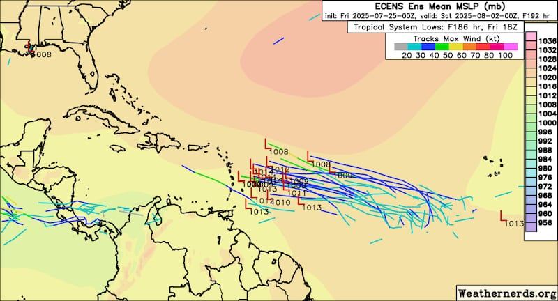
It’s still over a week out until the disturbance would near the easternmost Caribbean islands, but the signal is noteworthy, and it’ll probably be the next system to watch. Thankfully, we have plenty of time to monitor and we’ll of course be following its progress in the days ahead.
Messy northern Gulf
The broad and disorganized disturbance we’ve been tracking across the northern Gulf is now approaching the upper Texas coast and is expected to move inland later today.

As we mentioned in newsletters this week, conditions never favored development and the rainfall was overall manageable for many of the same areas that saw heavy rain from Invest 93L last week. No flash flood warnings were issued for areas along the northern Gulf Coast yesterday and the National Weather Service today expects again only a marginal (level 1 of 4) risk of localized flash flooding for the west-central Gulf Coast.

CLICK HERE to download the Local 10 Weather Authority’s 2025 hurricane survival guide.
Copyright 2025 by WPLG Local10.com - All rights reserved.
