
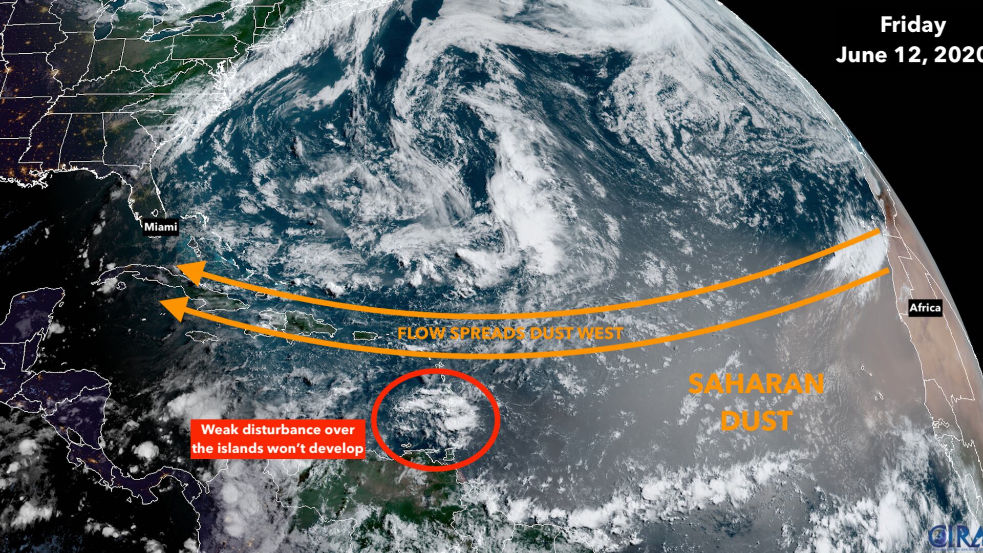
Dust and dry air from the Sahara Desert in Africa have spread over the tropical Atlantic. This so-called Saharan Air Layer tends to keep tropical systems from forming by acting like a giant sponge.
Computer model forecasts — like this one from NASA — show the plume of dusty air spreading across the Atlantic, the Caribbean, and into the Gulf of Mexico through at least the next week. This depiction is for next Friday.

Separately, enjoy the lower humidity in South Florida today. Dry air has pushed in from the northeast, but it won’t last. A tropical moisture surge is coming for the second half of the weekend into next week.
A weak tropical disturbance is moving into the Caribbean, but is in no danger of developing. It will get swept up in the channel of moist air that will be scooped up out of the tropics by a dip in the jet stream over the Gulf.
No tropical formation is expected into at least the middle of next week.
For the full forecast heading into the weekend, click here.
Copyright 2020 by WPLG Local10.com - All rights reserved.
