

Author’s note: The taxpayer-funded tools from NOAA I consulted to provide the forecast information and analyses in today’s newsletter include Madden-Julian Oscillation (MJO) analyses and tropical winds from the Climate Prediction Center, a NOAA agency. Many of the critical tools used to inform hurricane forecasts are slated for elimination in NOAA’s 2026 proposed budget.
July is a transition month in the Atlantic when we begin to look a little deeper into the basin and closer to Africa for hurricane seedlings.
But like in June, most storms that form come from initially non-tropical weather systems, like those spun off stalled fronts (see Chantal over the weekend) or from long-lived land-based thunderstorm clusters that sneak out over warm, tropical waters (see our discussion in yesterday’s newsletter about Mesoscale Convective Vortexes or MCVs).
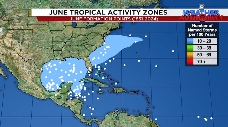
Where systems often have trouble forming in July is in the eastern Caribbean, a well-studied phenomenon tropical weather forecasters affectionally call the hurricane graveyard. We’ve discussed in-depth the origins of this July Caribbean graveyard in past newsletters. Although it doesn’t mean storms can’t form here in July, the prevailing conditions make it awfully difficult.
Tough conditions so far for would-be storms
Compared to recent hurricane seasons, 2025 has been anything but smooth sailing for fledgling storms. Atlantic waters have seen a substantial cooldown, wind shear has been noticeably high across the main tropical belt, and the global circulation pattern has favored lots of dry, sinking air through the basin.
Dr. Phil Klotzbach and his seasonal forecast team at Colorado State University will update their 2025 hurricane outlook tomorrow morning. You can find their full report here.
In the meantime, we look to the long range signals to give us an idea of when the Atlantic could perk up in July. One of those signals is the Madden-Julian Oscillation or MJO, which has been noticeably weak or altogether absent in the Atlantic since early June.

The MJO is expected to arrive back in the Atlantic by the last week or two of July. It’s too be seen if it can overcome the strong sinking air that’s plagued the Atlantic so far, but its presence could suggest more conducive conditions for tropical development by the end of the month.
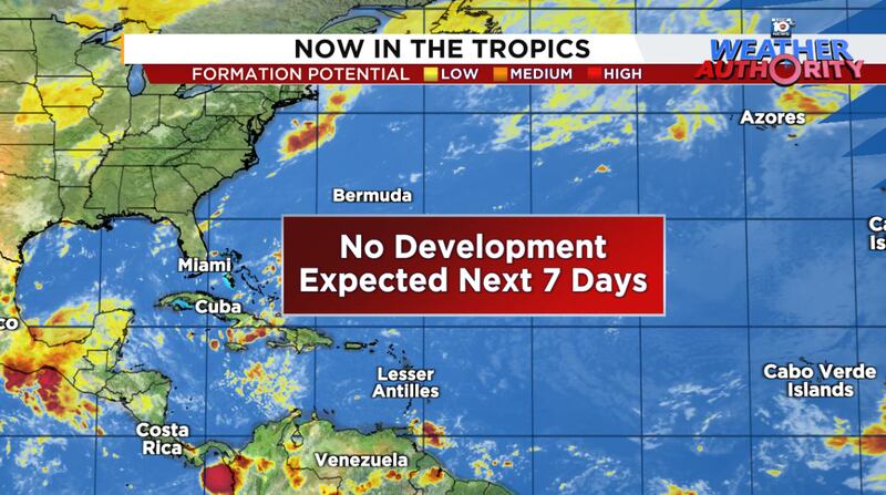
In the meantime, mum’s the word in the Atlantic and forecast models continue to advertise slim pickings for the next week or two.
CLICK HERE to download the Local 10 Weather Authority’s 2025 hurricane survival guide.
Copyright 2025 by WPLG Local10.com - All rights reserved.
