
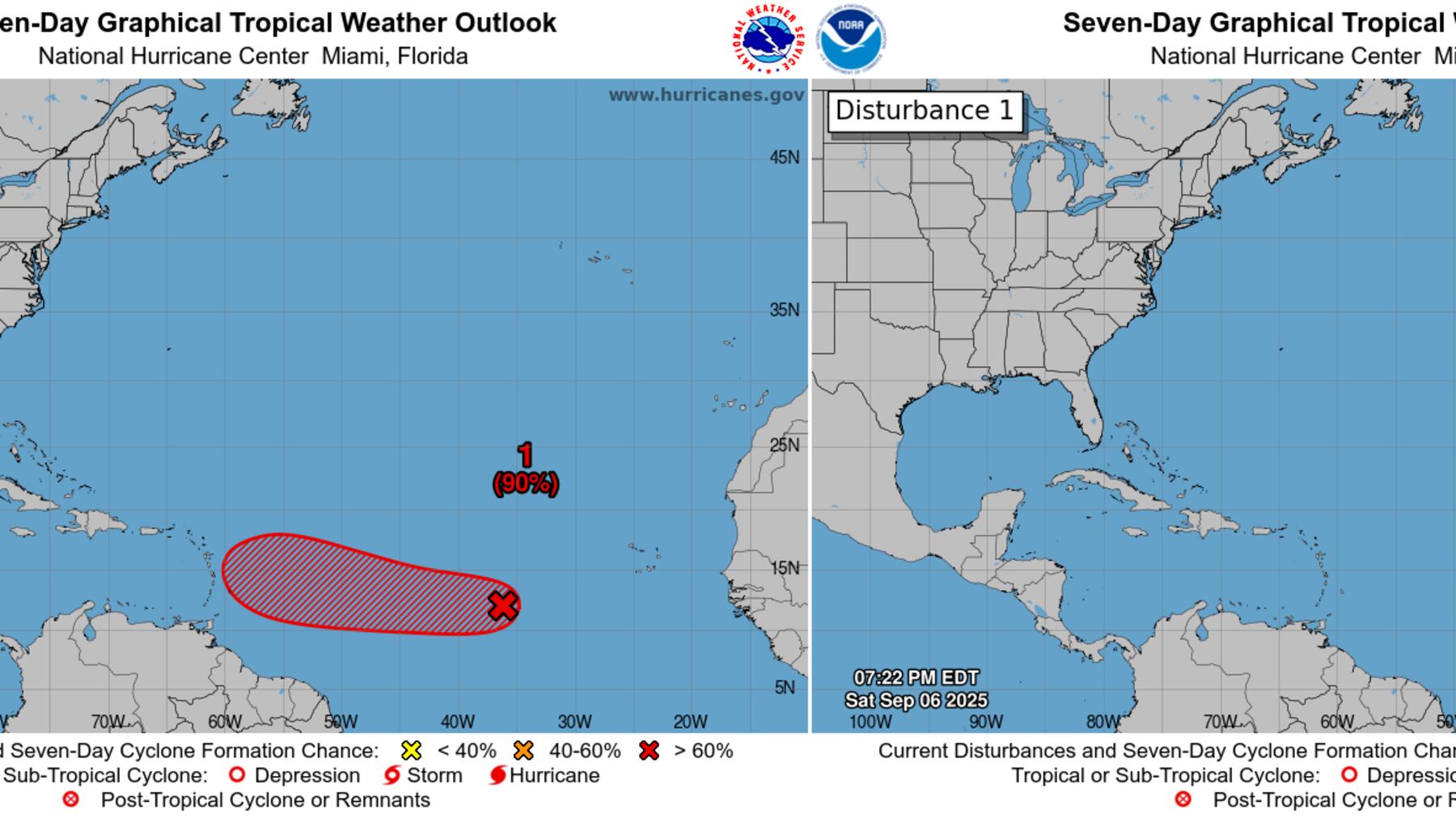
For most of last week, we previewed the possibility of our next system forming by this week from a disturbance designated Invest 91L in the eastern Atlantic. Though we discussed the run-to-run jumpiness of forecast models – a sign of higher-than-usual uncertainty – virtually all models were on board with at least some development by this week.
From early last Tuesday onward, the National Hurricane Center forecast a high chance of development for 91L, with odds as high as 90% by Friday morning. But as we detailed in this newsletter Friday morning, some of our most reliable models, led by Google’s new machine learning-based DeepMind model, sharply reversed course in their overnight cycle, turning quickly cold on development chances.
As it turned out, it wasn’t a fluke, and Google’s impressive new AI model got it right, with all other models following suit by late Friday and caving on 91L’s future. With virtually no model support for development by Saturday, the National Hurricane Center dropped development odds at a rapid clip, and before the day was out, 91L was off their map.

It was an astonishing about-face headed into the peak of the hurricane season, especially with environmental conditions ahead of 91L appearing somewhat favorable for at least gradual organization. It was also another impressive win for Google’s DeepMind – the best-performing forecast model for Hurricane Erin back in August – the first model to forecast 91L’s more westward course last week and the first to downtrend on its development.
What happened?
It’s unclear why forecast models turned suddenly sour on 91L’s chances. As we’ve previewed in newsletters for several weeks, the Madden-Julian Oscillation or MJO – a configuration of upper-level winds that can promote or suppress tropical development – is in an overall conducive state for development across the Atlantic beginning this week.

With this MJO configuration in September, history would suggest a background conducive for tropical development but that wasn’t the case for 91L.
Wind shear wasn’t much of a development deterrent, but its inability to produce sustained storminess suggests thermodynamic issues at play. Hurricanes require very buoyant air – air that rises and condenses, forming clouds and thunderstorms that release energy into the atmosphere – to help power the hurricane engine. That wasn’t happening with 91L, which kept a decent spin but stayed convectively starved, absent any persistent or robust thunderstorm cover.
Part of the issue was a dry environment in 91L’s vicinity, though likely stemming from intrusions of dry air from higher latitudes and unrelated to bouts of Saharan dust, which remain historically low this hurricane season.

Instability is a way of describing how prone air is to rise, and by that measure, the tropical Atlantic has been more stable than average, indicating sinking motions drying out the atmosphere and thwarting storminess.

In short, there’s no smoking gun as to why forecast models suddenly flipped on the forecast. Presumably, dry air or stability issues would’ve been detected by the models earlier if that was the primary culprit.
We have a handle on about 60-70% of the big factors driving tropical development and hurricane formation, but there’s a good 30-40% that the science hasn’t quite figured out. This is one of those cases where we got it wrong, but we also don’t have a clear explanation as to why.
Bob Ross might call this one a happy accident, one we’ll need a little more time to unpack and try to learn from to improve future forecasts.
Unusually quiet into the traditional hurricane season peak
Models show no areas of possible development this week, headed into the traditional hurricane season peak this Wednesday.

The next chance of development looks to come as we round the back half of September with another MJO pulse. While the AI camp of models are advertising development over the Atlantic for around the 3rd week of September, it’s too soon yet to give any specifics on what might come of it.

For now, enjoy the surprisingly quiet start to September!

CLICK HERE to download the Local 10 Weather Authority’s 2025 hurricane survival guide.
Copyright 2025 by WPLG Local10.com - All rights reserved.
